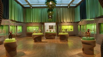
Sitting on an ancient building at the ruins of Uci, Yucatan, Mexico, I tugged at the 57th tick on my leg. Ticks are common in the low scrub forests around here, but usually not this common! Turning to the 58th tick, I considered the Maya word for these bugs: pech. At the time of the Spanish Conquest of Yucatan, nearly 500 years ago, Pech was also the name of the family who ruled the region that contained Uci. The Pech family ruled from the town of Motul, which still stands as the most important town in a 25 mile radius. Coincidentally, the current municipal president of Motul has the last name Pech.
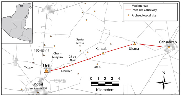
Though Uci is only a satellite village of Motul today, it was the first capital of the region. About 2,000 years ago, the lord of Ucí—let’s call him King Pech—built an eleven-mile- long causeway that connected Ucí, his capital city, to a series of large, ancient towns to the east, including Kancab, Ucanha and Cansahcab (see above map). These towns, as well as several rural villages in between, were once independent of Ucí. Now they were linked, not just politically, but physically, by an 8m-wide swath of stone still visible today on Google Earth.
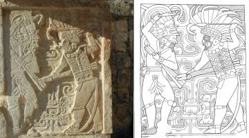
In the ancient Maya world, we have dozens of examples of kings expanding their sphere of influence to nearby towns. In the Southern Maya Lowlands, home to the powerful city states of Tikal (Guatemala), Calakmul (Mexico), and Caracol (Belize), royal scribes recorded such interactions with texts, inscribing hieroglyphs onto stone stela. In the northern lowlands, home to Ucí, hieroglyphic stela are rare. Integration between one site and another was manifested more bluntly, and at greater cost, by building a literal connection between the sites involved. The 62-mile-long causeway connecting massive Cobá with smaller Yaxuna stands as the most famous example.
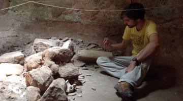
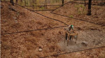
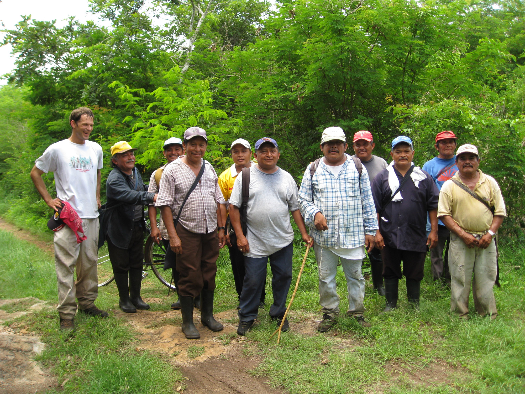
I direct the Uci-Cansahcab Regional Integration Project (UCRIP), which seeks to understand how the integration of Ucí and the settlements connected to it by the causeway affected local politics, economics and religion. UCRIP fieldwork began in 2008, following in the footsteps of Ruben Maldonado Cardenas, a Mexican archaeologist and professor who conducted the first research in the region between 1979 and 1982. The summer of 2014 marked the sixth season of UCRIP research. In our first two field seasons (2008 and 2009), we spent our time making detailed maps of all the platforms that we could find, from 25 centimeters high to 13 meters high, in the vicinity of Uci and along a 5 mile stretch of land between Ucí and Kancab. We began minor excavations in 2010, and in 2011, with funds from the National Science Foundation, we expanded all operations: mapping, digging, artifact analyses, soil chemistry, and community outreach. This season we will be digging three sites, the largest of which is Ucanha. A pair of 30-foot-high temples bracket Ucanha’s main plaza, and, with permission from Mexico’s National Institute of Anthropology we will dig one of the smaller structures on this plaza as well as parts of a 7 foot high platform the size of a professional hockey rink. We are excited to share our results in the weeks to come.
This is the first post in a series by Scott Hutson. Read his next post here.